Bringing Certainty to an Uncertain Future
Many of the natural disasters that GeoClaw allows scientists to study are projected to increase in frequency or intensity under climate change. Wildfire seasons have become progressively longer, for example, and fires are collectively causing more damage now than in years past, including an uptick in the number of post-fire landslides. And along the U.S. coastline, where 30 percent of the population lives, low-lying communities are increasingly threatened by rising sea levels and escalating storm surges.
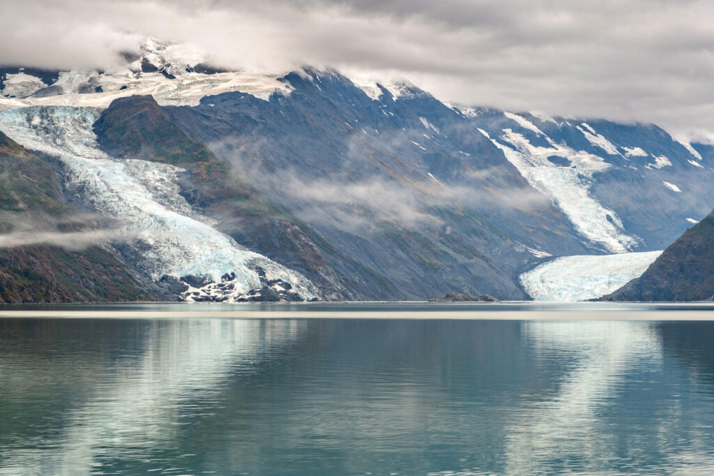
Even natural events that don’t seem inherently linked to climate change can still be affected by it, says George. For example, as glaciers retreat, they often reveal steep and unstable slopes of sediment that heighten the risk of landslide tsunamis for coastal communities. These tsunamis don’t threaten as wide an area, but they often cause more localized damage where they do strike.
“Climate change impacts all these types of surface flow processes because generally, it’s making the surface of the Earth less stable,” George says. “It’s a hollow victory to say this, because I wish it wasn’t the case, but in some ways, climate change has made GeoClaw even more valuable as a tool.”
Meeting the disaster-preparedness needs of the future will require the collaboration of many different stakeholders, says Kyle Mandli, a project scientist at the National Science Foundation’s National Center for Atmospheric Research and a former research scientist at the Flatiron Institute. Mandli’s work today focuses on developing mathematical approaches to cataloging and responding to threats posed by climate change, meaning that he’s often collaborating with partners at federal and state agencies, academic institutions, insurance companies, and advocacy groups representing coastal residents. All these communities, he says, should have a say in how disasters are studied and prepared for.
“Fortunately, I think what people have recognized is that the climate change questions we want to ask are not possible without things like GeoClaw,” he says. “The science of answering a lot of these hypotheticals and doing that in a systematic way is new, and GeoClaw is a go-to tool for this.”
Bolstering Coastal Communities
The popularity of GeoClaw and the ease with which relative novices can pick it up mean that it continues to draw new users even decades after its initial release. LeVeque says that while he’s long since stopped tabulating all the people using GeoClaw, it’s likely a larger community than even he knows. More than 1,500 research publications have cited the program, and users and developers often connect through online forums. “It belongs to everybody now, and we all contribute to it,” he says.
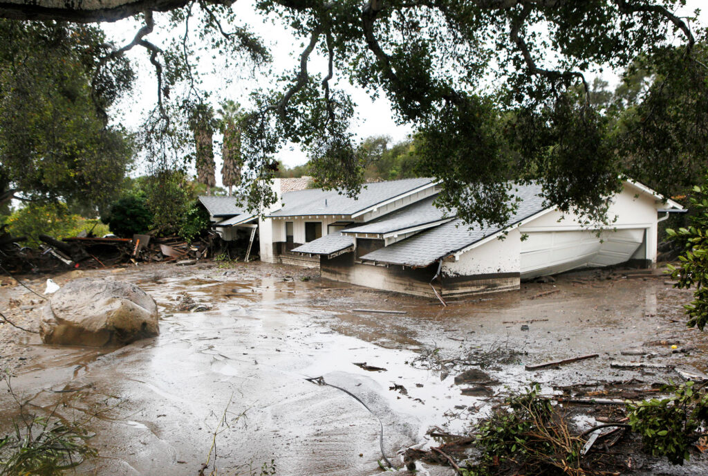
Katherine Barnhart, an earth scientist at the USGS Geologic Hazards Science Center in Golden, Colorado, says she knew about GeoClaw’s reputation as a “successful, long-standing open source project” long before she joined George in developing another spin-off, called D-Claw, focused on flows made up of a large percentage of solid material. Today, she uses D-Claw to study post-fire debris flows — landslides that sometimes occur when heavy rain follows a fire. In January 2018, for example, a debris flow traveling at up to 15 miles an hour struck a hillside community in Montecito, California, killing at least 23 people, damaging or destroying more than 400 structures, and shutting down Highway 101 for several weeks.